Places
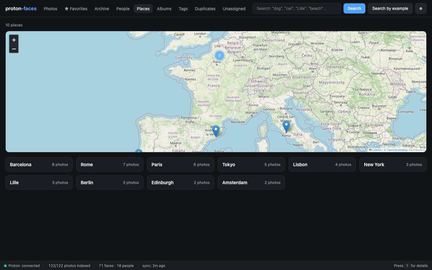
The Places tab is a Leaflet world map with one clustered marker per city you've photographed in. Click any marker (or any chip in the city list below the map) to filter the photos grid to that place.
Where place names come from
Proton's API doesn't expose photo location, so two paths feed the photos.place column:
1. EXIF GPS (real mode)
The indexer reads GPS coordinates straight from each photo's own EXIF when it downloads the full-res original (the fullres loop). Coordinates are persisted to photos.gps_lat / photos.gps_lng before the original is deleted, then reverse-geocoded to a place name.
For photos indexed before this was added, a one-shot backfill re-downloads originals and reads their EXIF:
What it does:
- Sweeps photos with no GPS yet (optionally restricted to a media type with
--gps-media-type image/heic). - Re-downloads each original via the bridge and reads the EXIF GPS block.
- Persists the coordinates and runs reverse-geocoding (
reverse_geocoderlibrary, offline data files) on every photo that has GPS but no place yet.
The gps worker loop runs a bounded batch of this backfill automatically each cycle (--gps-limit 50), so the backlog drains without saturating your home connection.
2. Demo fixture (demo mode)
In demo mode, place names are baked into the fixture (app/src/demo_assets/fixture.json). The apply_demo_gps() hook in app/src/demo.py writes them into SQLite after every sync.
The map
- OpenStreetMap tiles served by Leaflet. No API key required.
- Clustered markers — nearby cities are merged into a single cluster marker with a count badge; click to zoom in.
- Marker click — opens a small popup with the city name, the photo count, and a thumbnail of a representative photo. The popup's "Show photos" link filters the photos grid to that place.
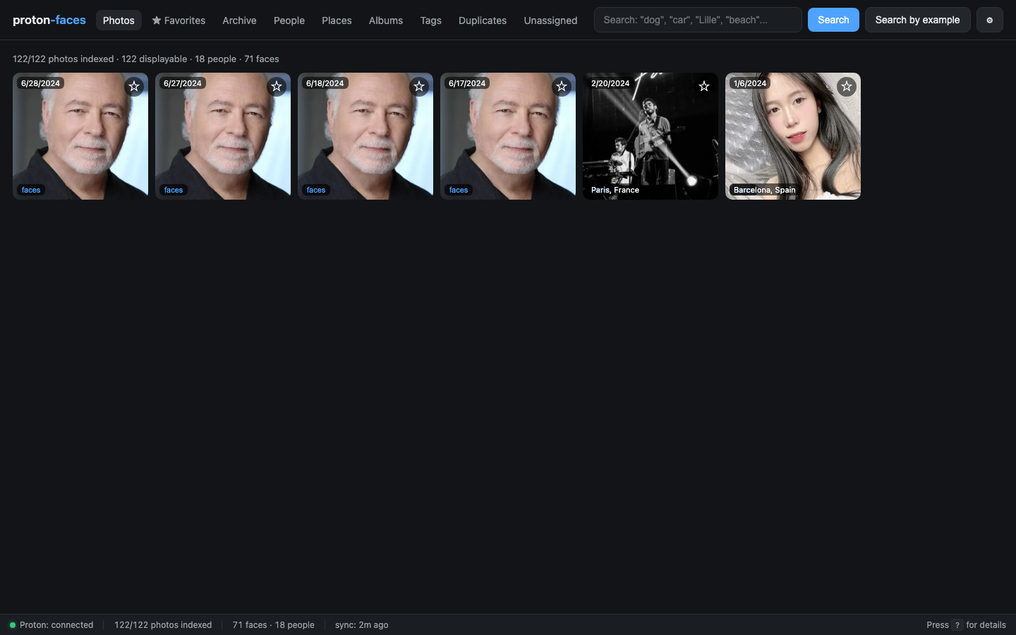
- "Show photos" also returns the same set of photos as
/api/photos?place=Paris.
The city list
Below the map, a row of chips lists every city in your library, sorted by photo count. Each chip shows the city name and the photo count. Click a chip → filter the grid.
The per-person map
Click Map on any card in the People tab. A Leaflet map opens filtered to photos that contain that person's face — the same /api/people/{id}/map endpoint serves both views.
The Places view — performance
/api/mapreturns up to 1000 markers by default; the marker clusterer on the client keeps the UI smooth even on 100k-photo libraries./api/placesis paginated (limit=500) for the city list chip strip.- Place reverse-geocoding runs once per photo, in a background loop (
GPS_INTERVALdefault 6 h). The work is idempotent: re-running enriches only photos whereplace IS NULL.
What about iPhone photos without GPS?
Most iPhones embed GPS into the EXIF, and the indexer reads it from the original when it downloads the full-res file. If the EXIF was stripped before upload (or the camera never recorded a position), the photo won't appear on the map — it just won't have a place label.
API endpoints
| Endpoint | Purpose |
|---|---|
GET /api/map?limit=1000 |
Markers for the world map |
GET /api/places?limit=500 |
City list for the chip strip |
GET /api/photos?place=Paris |
Photos from a place |
GET /api/people/{id}/map |
Per-person map |
GET /api/search?q=Lille |
Text search also matches place names |
Next: Albums & tags covers Proton albums (read-only) and your free-form tags.